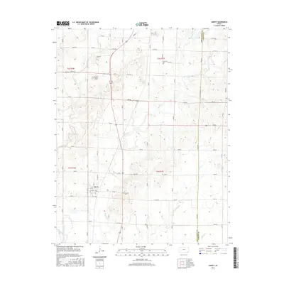
2016 Map of Liberty
USGS Topo · Published 2016About this map
Liberty serves as the focal point of this Montgomery County landscape, situated where the Verdigris River and its tributaries define the local geography. The area's drainage pattern is dominated by several significant waterways, including the winding Big Hill Cr and Drum Cr, which feed into the primary river system. This 2016 survey illustrates a transition from the structured residential grid of the town center to the expansive rural sections that surround it, where the land is primarily organized along established section roads like 4200 RD.
Find a feature on this map
61 named features on this map. Tap any name to fly to it.
Don’t see what you’re looking for? This feature index may not catch every label — zoom into the map to look around manually.
Map Details
Editions of this 2016 Liberty Map
This is the sole edition of this map. No revisions or reprints were ever made.
Other maps of this area

1886 · Independence
USGS Topo · 1:125,000

1886 · Parsons
USGS Topo · 1:125,000

1893 · Parsons
USGS Topo · 1:125,000

1894 · Independence
USGS Topo · 1:125,000

1905 · Independence
USGS Topo · 1:125,000

1945 · Parsons
USGS Topo · 1:62,500

1946 · Parsons
USGS Topo · 1:62,500

1946 · Mound Valley
USGS Topo · 1:62,500

1947 · Parsons
USGS Topo · 1:62,500

1947 · Joplin
USGS Topo · 1:250,000