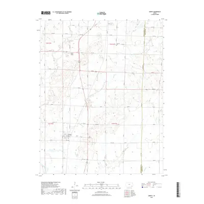
2018 Map of Liberty
USGS Topo · Published 2018About this map
Liberty is the central hub of this Montgomery County landscape, situated where the local road network converges near the banks of Big Hill Cr. The town's grid, including Main St and Elm St, is surrounded by a sprawling agricultural and riparian environment defined by the winding paths of Potato Cr and Claymore Cr. To the south and west, the terrain eventually meets the Verdigris River, illustrating the importance of these waterways to the local topography and drainage.
Find a feature on this map
36 named features on this map. Tap any name to fly to it.
Don’t see what you’re looking for? This feature index may not catch every label — zoom into the map to look around manually.
Map Details
Editions of this 2018 Liberty Map
This is the sole edition of this map. No revisions or reprints were ever made.
Other maps of this area

1886 · Independence
USGS Topo · 1:125,000

1886 · Parsons
USGS Topo · 1:125,000

1893 · Parsons
USGS Topo · 1:125,000

1894 · Independence
USGS Topo · 1:125,000

1905 · Independence
USGS Topo · 1:125,000

1945 · Parsons
USGS Topo · 1:62,500

1946 · Parsons
USGS Topo · 1:62,500

1946 · Mound Valley
USGS Topo · 1:62,500

1947 · Parsons
USGS Topo · 1:62,500

1947 · Joplin
USGS Topo · 1:250,000