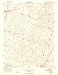
1950 Map of Libertytown
USGS Topo · Published 1950About this map
Parrs Ridge dominates the eastern boundary of this mid-century Frederick and Carroll County landscape, serving as a prominent geographical divide above the small communities of the Piedmont. The map documents a network of rural settlements connected by winding roads and numerous watercourses, including Linganore Creek and its complex system of forks and branches. At the southern edge, the Baltimore and Ohio railroad corridor clips through Mount Airy, anchoring the local transit network.
Find a feature on this map
27 named features on this map. Tap any name to fly to it.
Don’t see what you’re looking for? This feature index may not catch every label — zoom into the map to look around manually.
Map Details
Editions of this 1950 Libertytown Map
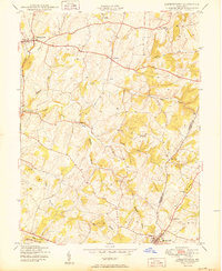
2 editions found
Other maps of this area

1893 · Frederick
USGS Topo · 1:125,000

1894 · Frederick
USGS Topo · 1:125,000

1908 · Ijamsville
USGS Topo · 1:62,500

1909 · Mount Airy
USGS Topo · 1:62,500

1909 · Ijamsville
USGS Topo · 1:62,500

1911 · Taneytown
USGS Topo · 1:62,500

1911 · Emmitsburg
USGS Topo · 1:62,500

1942 · Frederick
USGS Topo · 1:62,500

1942 · Gettysburg
USGS Topo · 1:125,000

1943 · Emmitsburg
USGS Topo · 1:62,500