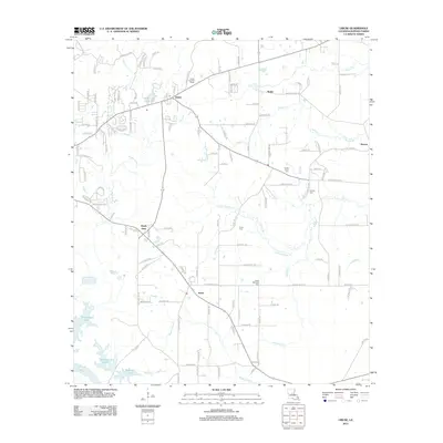
2012 Map of Libuse
USGS Topo · Published 2012About this map
Libuse and Kolin serve as the primary focal points of this Rapides Parish landscape, which is defined by its deep cultural ties to Czech heritage. These settlements are anchored by significant local landmarks such as the Libuse Czech Cem and the Czech National Cem, alongside the Libuse Lookout Tower. The terrain is shaped by a dense network of waterways including Brushy Fork, Little Horsepen Cr, and Haines Cr, which drain toward the south into Wiggins Bayou.
Find a feature on this map
129 named features on this map. Tap any name to fly to it.
Don’t see what you’re looking for? This feature index may not catch every label — zoom into the map to look around manually.
Map Details
Editions of this 2012 Libuse Map
This is the sole edition of this map. No revisions or reprints were ever made.
Other maps of this area

1935 · Lecompte
USGS Topo · 1:62,500

1940 · Marksville
USGS Topo · 1:62,500

1941 · Alexandria
USGS Topo · 1:62,500

1941 · Buckeye
USGS Topo · 1:62,500

1953 · Alexandria
USGS Topo · 1:250,000

1955 · Alexandria
USGS Topo · 1:250,000

1957 · Alexandria
USGS Topo · 1:62,500
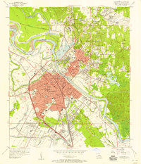
1957 · Alexandria
USGS Topo · 1:24,000

1957 · Lecompte
USGS Topo · 1:62,500

1959 · Buckeye
USGS Topo · 1:62,500