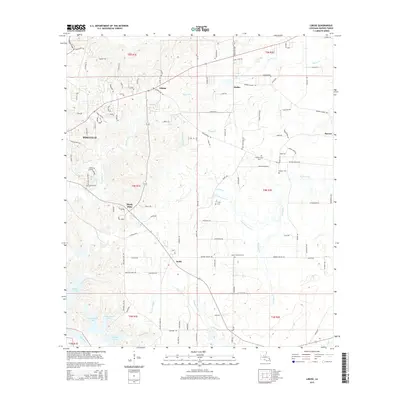
2015 Map of Libuse
USGS Topo · Published 2015About this map
Settlements such as Libuse and Kolin reflect the distinct cultural heritage of central Louisiana, where various immigrant communities established roots. The landscape is shaped by a complex network of waterways, including the winding Wiggins Bayou and Horsepen Cr, which feed into the Red River at the southern edge. The distribution of family and community burial grounds, such as the Libuse Czech Cem and Czech National Cem, provides a map of local lineage and the enduring presence of these settlements. Rural roads like Donahue Ferry Rd and Philadelphia Rd connect these pocket communities to the growing edge of Pineville. To the south, numerous small water bodies like Buttonwood Lake, Tanyard Lake, and Williams Lake characterize the low-lying terrain near the bayou system.
Find a feature on this map
135 named features on this map. Tap any name to fly to it.
Don’t see what you’re looking for? This feature index may not catch every label — zoom into the map to look around manually.
Map Details
Editions of this 2015 Libuse Map
This is the sole edition of this map. No revisions or reprints were ever made.
Other maps of this area

1935 · Lecompte
USGS Topo · 1:62,500

1940 · Marksville
USGS Topo · 1:62,500

1941 · Alexandria
USGS Topo · 1:62,500

1941 · Buckeye
USGS Topo · 1:62,500

1953 · Alexandria
USGS Topo · 1:250,000

1955 · Alexandria
USGS Topo · 1:250,000

1957 · Alexandria
USGS Topo · 1:62,500
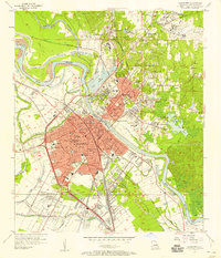
1957 · Alexandria
USGS Topo · 1:24,000

1957 · Lecompte
USGS Topo · 1:62,500

1959 · Buckeye
USGS Topo · 1:62,500