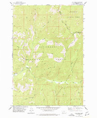
1974 Map of Lick Creek
USGS Topo · Published 1977About this map
The East Fork Bitterroot River winds through a high-elevation landscape defined by the intersection of three major protected areas in the mid-1970s. This survey documents the boundary where Deerlodge National Forest and Bitterroot National Forest meet the Anaconda Pintlar Wilderness. The map illustrates a network of drainage systems, including Lick Creek, Moose Creek, and Clifford Creek, which flow through steep terrain toward the main river valley. Cultural features are sparse but significant for forest management and recreation, notably the East Fork Forest Service Station and the Martin Creek Campground. Evidence of high-country infrastructure is visible at the Lookout Tower near McCart RM 7115, while several Pack Trails provide the primary means of navigating the wilderness interior. The map also records the county line between Ravalli and Granite, crossing through the distinctive Hole in the Wall.
Find a feature on this map
32 named features on this map. Tap any name to fly to it.
Don’t see what you’re looking for? This feature index may not catch every label — zoom into the map to look around manually.
Map Details
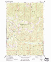
Editions of this 1974 Lick Creek Map
2 editions found
Other maps of this area

1909 · Sapphire
USGS Topo · 1:125,000

1947 · Butte
USGS Topo · 1:250,000

1955 · Dillon
USGS Topo · 1:250,000

1957 · Dillon
USGS Topo · 1:250,000

1958 · Butte
USGS Topo · 1:250,000

1958 · Dillon
USGS Topo · 1:250,000

1960 · Butte
USGS Topo · 1:250,000

1962 · Butte
USGS Topo · 1:250,000

1962 · Dillon
USGS Topo · 1:250,000

1965 · Dillon
USGS Topo · 1:250,000