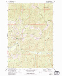
1974 Map of Lick Creek
USGS Topo · Published 1994About this map
Bitterroot National Forest and Deerlodge National Forest meet along the ridge lines of this topographic survey, which preserves the administrative and natural landscape as it stood in the mid-1970s. The geography is defined by the headwaters of the East Fork Bitterroot River, where numerous drainages like Lick Creek and Martin Creek descend from the high timber. Evidence of forest management and fire observation is visible at the East Fork Forest Service Station and the Lookout Tower McCart RM near the southern boundary. The inclusion of the Anaconda-Pintler Wilderness illustrates the area's transition toward protected wildland status during this era. Traceable routes including a network of Pack Trails and the distinctive Hole in the Wall landmark suggest the traditional access patterns used by foresters and early backcountry travelers before more modern infrastructure reached these high-elevation basins.
Find a feature on this map
33 named features on this map. Tap any name to fly to it.
Don’t see what you’re looking for? This feature index may not catch every label — zoom into the map to look around manually.
Map Details
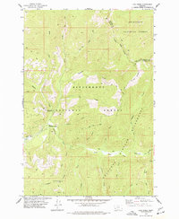
Editions of this 1974 Lick Creek Map
2 editions found
Other maps of this area

1909 · Sapphire
USGS Topo · 1:125,000

1947 · Butte
USGS Topo · 1:250,000

1955 · Dillon
USGS Topo · 1:250,000

1957 · Dillon
USGS Topo · 1:250,000

1958 · Butte
USGS Topo · 1:250,000

1958 · Dillon
USGS Topo · 1:250,000

1960 · Butte
USGS Topo · 1:250,000

1962 · Butte
USGS Topo · 1:250,000

1962 · Dillon
USGS Topo · 1:250,000

1965 · Dillon
USGS Topo · 1:250,000