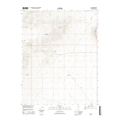
2014 Map of Lida
USGS Topo · Published 2014About this map
Lida occupies a strategic position at the edge of the Palmetto Mountains, serving as a focal point for the surrounding desert landscape in this portion of Esmeralda County. The area's hydrology is defined by critical water sources such as Stewarts Spring and Last Water Spring, which likely dictated the placement of early settlements and livestock routes in this arid environment. The terrain rises sharply toward the east at Mt Jackson, overlooking the geological depression of Lida Canyon. Transport is anchored by the presence of 266 and NV-265, which connect these remote uplands to the broader regional network. The inclusion of the Pipeline Reservoir highlights the managed infrastructure required to sustain life and industry in the high desert of southwestern Nevada.
Find a feature on this map
14 named features on this map. Tap any name to fly to it.
Don’t see what you’re looking for? This feature index may not catch every label — zoom into the map to look around manually.
Map Details
Editions of this 2014 Lida Map
This is the sole edition of this map. No revisions or reprints were ever made.
Other maps of this area

1898 · Silver Peak
USGS Topo · 1:125,000

1900 · Silver Peak
USGS Topo · 1:125,000

1908 · Lida
USGS Topo · 1:250,000

1913 · Lida
USGS Topo · 1:250,000

1945 · Goldfield
USGS Topo · 1:125,000

1954 · Goldfield
USGS Topo · 1:250,000

1955 · Goldfield
USGS Topo · 1:250,000

1957 · Magruder Mtn
USGS Topo · 1:62,500

1958 · Goldfield
USGS Topo · 1:250,000

1962 · Goldfield
USGS Topo · 1:250,000