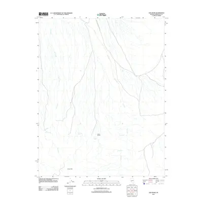
2011 Map of Lida Wash
USGS Topo · Published 2011About this map
Indian Garden sits at the heart of this high-desert landscape in Esmeralda County, where water sources dictate the geography of human and animal activity. The drainage of Lida Wash dominates the eastern half of the sheet, while the western flank is defined by the course of Birch Creek. This 2011 survey documents a network of vital desert water points, including Pocahontas Spring, Barrel Spring, and Mud Spring, which have historically served as critical stops for travelers and cattle in the Great Basin. The terrain rises to the south at Harvey Peak, providing a topographical anchor for the area. Transport is marked by the Silver Peak-Railroad Springs Rd, tracing a route through the arid terrain between established mining and ranching districts. The density of named springs like Horath Corral Spring and McNamara Spring underscores the importance of these isolated water features in an otherwise parched environment.
Find a feature on this map
11 named features on this map. Tap any name to fly to it.
Don’t see what you’re looking for? This feature index may not catch every label — zoom into the map to look around manually.
Map Details
Editions of this 2011 Lida Wash Map
This is the sole edition of this map. No revisions or reprints were ever made.
Other maps of this area

1898 · Silver Peak
USGS Topo · 1:125,000

1900 · Silver Peak
USGS Topo · 1:125,000

1908 · Lida
USGS Topo · 1:250,000

1913 · Lida
USGS Topo · 1:250,000

1945 · Goldfield
USGS Topo · 1:125,000

1954 · Goldfield
USGS Topo · 1:250,000

1955 · Goldfield
USGS Topo · 1:250,000

1957 · Magruder Mtn
USGS Topo · 1:62,500

1958 · Goldfield
USGS Topo · 1:250,000

1962 · Goldfield
USGS Topo · 1:250,000