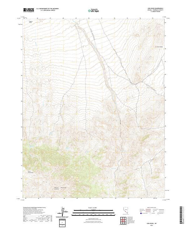
2021 Map of Lida Wash
USGS Topo · Published 2021About this map
Lida Wash cuts a primary drainage corridor through this high-desert basin in Esmeralda County, defining the topographic character between the Silver Peak Range and the northern reaches of the Palmetto Mountains. The landscape is a study in desert water sources, where isolated points such as Horath Corral Spring, Birch-Creek Spring, and Pocahontas Spring provided essential stopovers in an arid environment.
Find a feature on this map
18 named features on this map. Tap any name to fly to it.
Don’t see what you’re looking for? This feature index may not catch every label — zoom into the map to look around manually.
Map Details
Editions of this 2021 Lida Wash Map
This is the sole edition of this map. No revisions or reprints were ever made.
Other maps of this area

1898 · Silver Peak
USGS Topo · 1:125,000

1900 · Silver Peak
USGS Topo · 1:125,000

1908 · Lida
USGS Topo · 1:250,000

1913 · Lida
USGS Topo · 1:250,000

1945 · Goldfield
USGS Topo · 1:125,000

1954 · Goldfield
USGS Topo · 1:250,000

1955 · Goldfield
USGS Topo · 1:250,000

1957 · Magruder Mtn
USGS Topo · 1:62,500

1958 · Goldfield
USGS Topo · 1:250,000

1962 · Goldfield
USGS Topo · 1:250,000