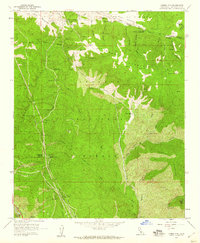
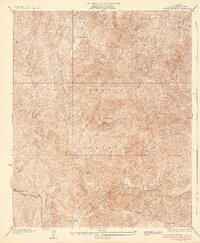
1958 Map of Liebre Mountain
USGS Topo · Published 1959About this map
The San Andreas Rift Zone dominates the northern landscape of this Los Angeles County region, cutting a distinct geological path north of Liebre Mountain. This 1950s survey documents a critical transition era for mountain travel and monitoring, featuring the winding path of the Old Ridge Route. Along this historic thoroughfare, established stops like Sandberg, the Tumble Inn, and the Halfway Inn reflect the mid-century roadside culture of the Angeles National Forest.
Find a feature on this map
52 named features on this map. Tap any name to fly to it.
Don’t see what you’re looking for? This feature index may not catch every label — zoom into the map to look around manually.
Map Details
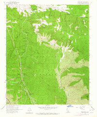
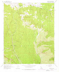
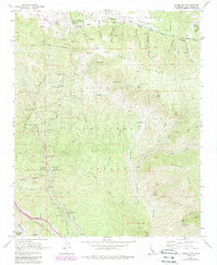
Editions of this 1958 Liebre Mountain Map
4 editions found
Other maps of this area

1903 · Tejon
USGS Topo · 1:125,000

1931 · Redrock Mtn
USGS Topo · 1:24,000

1932 · Beartrap Canyon
USGS Topo · 1:24,000

1932 · Neenach
USGS Topo · 1:24,000

1933 · Quail
USGS Topo · 1:24,000
1936 · Redrock Mtn.
USGS Topo · 1:24,000

1938 · Beartrap Canyon
USGS Topo · 1:24,000

1938 · Liebre
USGS Topo · 1:24,000

1938 · Quail
USGS Topo · 1:24,000

1943 · Neenach
USGS Topo · 1:62,500