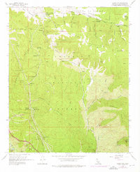
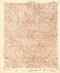
1958 Map of Liebre Mountain
USGS Topo · Published 1975About this map
The Old Ridge Route snakes through the high country of the Angeles National Forest, marking a transition between the northern high desert and the steep drainage basins of the Transverse Ranges. In the late 1950s, this area remained a landscape of isolated waystations and high-altitude ranching, anchored by the settlement of Sandberg and the Rancho Corona del Valle. The presence of the U S Weather Bureau Sta and the Quail Lake Fire Sta underscores the importance of this ridge for monitoring the regional climate and fire risk above the San Andreas Rift Zone.
Find a feature on this map
78 named features on this map. Tap any name to fly to it.
Don’t see what you’re looking for? This feature index may not catch every label — zoom into the map to look around manually.
Map Details
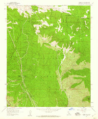
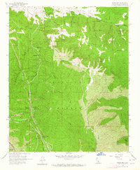
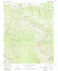
Editions of this 1958 Liebre Mountain Map
4 editions found
Other maps of this area

1903 · Tejon
USGS Topo · 1:125,000

1931 · Redrock Mtn
USGS Topo · 1:24,000

1932 · Beartrap Canyon
USGS Topo · 1:24,000

1932 · Neenach
USGS Topo · 1:24,000

1933 · Quail
USGS Topo · 1:24,000
1936 · Redrock Mtn.
USGS Topo · 1:24,000

1938 · Beartrap Canyon
USGS Topo · 1:24,000

1938 · Liebre
USGS Topo · 1:24,000

1938 · Quail
USGS Topo · 1:24,000

1943 · Neenach
USGS Topo · 1:62,500