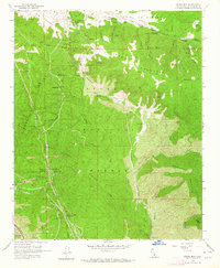
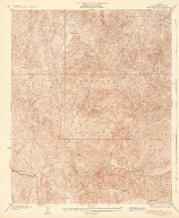
1958 Map of Liebre Mountain
USGS Topo · Published 1964About this map
Sandberg and the surrounding high-altitude terrain of the Angeles National Forest define this 1958 survey. The landscape is marked by the distinct geology of the San Andreas Rift Zone cutting across the northern reaches, where the U S Weather Bureau Sta and Quail Lake Fire Sta monitored the environment. Travel through this portion of the Tehachapi Mountains was shaped by the Ridge Route and Old Ridge Route, which brought travelers past roadside stops like Tumble Inn and Halfway Inn.
Find a feature on this map
73 named features on this map. Tap any name to fly to it.
Don’t see what you’re looking for? This feature index may not catch every label — zoom into the map to look around manually.
Map Details
Editions of this 1958 Liebre Mountain Map
4 editions found
Other maps of this area

1903 · Tejon
USGS Topo · 1:125,000

1931 · Redrock Mtn
USGS Topo · 1:24,000

1932 · Beartrap Canyon
USGS Topo · 1:24,000

1932 · Neenach
USGS Topo · 1:24,000

1933 · Quail
USGS Topo · 1:24,000
1936 · Redrock Mtn.
USGS Topo · 1:24,000

1938 · Beartrap Canyon
USGS Topo · 1:24,000

1938 · Liebre
USGS Topo · 1:24,000

1938 · Quail
USGS Topo · 1:24,000

1943 · Neenach
USGS Topo · 1:62,500