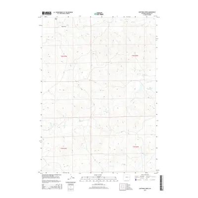
2015 Map of Lightning Creek
USGS Topo · Published 2015About this map
Lightning Creek and its various tributaries define the drainage patterns of this high plains landscape in Converse County. The area is characterized by an extensive network of ephemeral drainages and intermittent streams, including Box Creek in the north and Willow Creek to the south. Water management for local ranching or agricultural use is evident through the presence of named catchments like Goochy Reservoir and Slates Number 1 Reservoir. Surveyed under the Public Land Survey System, the map detail shows the precise section lines and township boundaries of t36n r70w, t36n r69w, t35n r70w, and t35n r69w. The landform known as Mikes Draw cuts through the northwest corner, illustrating the slow erosion of the Wyoming plateau. This data provides a detailed record of water resources and property divisions in a sparsely populated region during the early twenty-first century.
Find a feature on this map
11 named features on this map. Tap any name to fly to it.
Don’t see what you’re looking for? This feature index may not catch every label — zoom into the map to look around manually.
Map Details
Editions of this 2015 Lightning Creek Map
This is the sole edition of this map. No revisions or reprints were ever made.
Other maps of this area

1949 · Clausen Ranch
USGS Topo · 1:24,000

1950 · Clausen Ranch
USGS Topo · 1:24,000

1954 · Torrington
USGS Topo · 1:250,000

1955 · Newcastle
USGS Topo · 1:250,000

1958 · Torrington
USGS Topo · 1:250,000

1958 · Newcastle
USGS Topo · 1:250,000

1959 · Bill
USGS Topo · 1:62,500

1970 · Bill 4 SE
USGS Topo · 1:24,000

1970 · Walker Creek School
USGS Topo · 1:24,000

1970 · Bill 4 NW
USGS Topo · 1:24,000