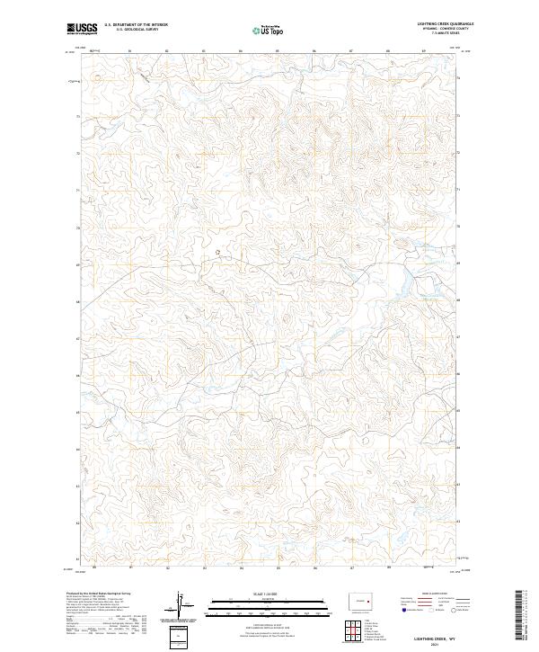
2021 Map of Lightning Creek
USGS Topo · Published 2021About this map
Lightning Cr winds through this expanse of Converse County, defining a landscape of high plains drainage and water management. This 2021 update documents a network of seasonal watercourses and man-made impoundments essential for life in this arid region. Significant features include Goochy Reservoir and States Number 1 Reservoir, which reflect the area's agricultural and ranching infrastructure. Smaller tributaries such as Box Cr, Willow Cr, and the northern reach of Mikes Draw further carve the terrain, illustrating the complex hydrography within the boundaries of t36n r69w and its surrounding townships. The map provides a clear record of the modern rural landscape, where topography and water rights intersect.
Find a feature on this map
10 named features on this map. Tap any name to fly to it.
Don’t see what you’re looking for? This feature index may not catch every label — zoom into the map to look around manually.
Map Details
Editions of this 2021 Lightning Creek Map
This is the sole edition of this map. No revisions or reprints were ever made.
Other maps of this area

1949 · Clausen Ranch
USGS Topo · 1:24,000

1950 · Clausen Ranch
USGS Topo · 1:24,000

1954 · Torrington
USGS Topo · 1:250,000

1955 · Newcastle
USGS Topo · 1:250,000

1958 · Torrington
USGS Topo · 1:250,000

1958 · Newcastle
USGS Topo · 1:250,000

1959 · Bill
USGS Topo · 1:62,500

1970 · Bill 4 SE
USGS Topo · 1:24,000

1970 · Walker Creek School
USGS Topo · 1:24,000

1970 · Bill 4 NW
USGS Topo · 1:24,000