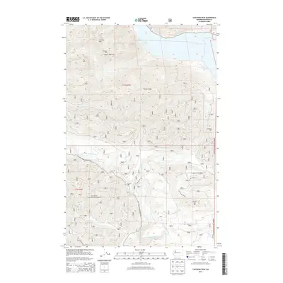
2014 Map of Lightning Peak
USGS Topo · Published 2014About this map
Lake Cushman dominates the northeastern corner of this Mason County landscape, marking a significant point of water management and recreation within the Olympic National Forest. The map documents a heavily forested and mountainous region, defined by prominent summits such as Lightning Peak, Timber Mtn, and Dry Mtn in the Olympic Mountains. This 2014 survey illustrates the complex network of Forest Service infrastructure, specifically the Natl Forest Develop Road 23 Rd and various secondary spurs that provide access to the high ridges.
Find a feature on this map
29 named features on this map. Tap any name to fly to it.
Don’t see what you’re looking for? This feature index may not catch every label — zoom into the map to look around manually.
Map Details
Editions of this 2014 Lightning Peak Map
This is the sole edition of this map. No revisions or reprints were ever made.
Other maps of this area

1938 · Mt Constance
USGS Topo · 1:125,000

1943 · Potlatch
USGS Topo · 1:62,500

1947 · The Brothers
USGS Topo · 1:62,500

1947 · Mt. Steel
USGS Topo · 1:62,500

1950 · The Brothers
USGS Topo · 1:62,500

1950 · Mt. Steel
USGS Topo · 1:62,500

1952 · Potlatch
USGS Topo · 1:62,500

1953 · Mt Tebo
USGS Topo · 1:62,500

1958 · Seattle
USGS Topo · 1:250,000

1962 · Seattle
USGS Topo · 1:250,000