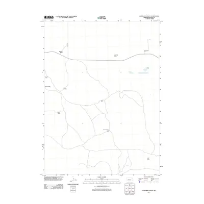
2011 Map of Lightning Valley
USGS Topo · Published 2011About this map
Lightning Valley and the surrounding Sandhills of Arthur County appear here as a landscape defined by isolated ranching operations and natural depressions. The spatial arrangement of the region is dictated by its valleys, with named landmarks like Helmer Valley and Loyd Valley providing the topographical structure for settlement. Human presence is sparse and predominantly agricultural, with the map recording specific homesteads and family-named holdings such as Enfield Ranch, Houpt Ranch, and Anderberg Ranch.
Find a feature on this map
14 named features on this map. Tap any name to fly to it.
Don’t see what you’re looking for? This feature index may not catch every label — zoom into the map to look around manually.
Map Details
Editions of this 2011 Lightning Valley Map
This is the sole edition of this map. No revisions or reprints were ever made.
Other maps of this area

1897 · Ogallala
USGS Topo · 1:125,000

1898 · Paxton
USGS Topo · 1:125,000

1900 · Ogallala
USGS Topo · 1:125,000

1901 · Paxton
USGS Topo · 1:125,000

1949 · Arthur
USGS Topo · 1:62,500

1949 · Flats
USGS Topo · 1:62,500

1950 · Flats
USGS Topo · 1:62,500

1950 · Arthur
USGS Topo · 1:62,500

1954 · North Platte
USGS Topo · 1:250,000

1956 · North Platte
USGS Topo · 1:250,000