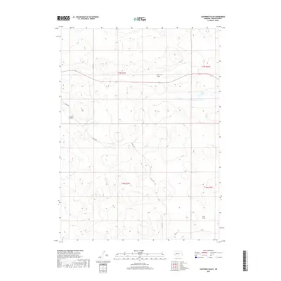
2017 Map of Lightning Valley
USGS Topo · Published 2017About this map
Lightning Valley and the surrounding Sandhills of Arthur County characterize this portion of Nebraska's landscape. The terrain is defined by natural depressions and basins, including Helmer Valley and Loyd Valley, which reflect the region's unique geography. Human presence is sparse, marked primarily by a limited network of remote ranch roads such as Triangle Rd and Enfield Rd. This 2017 survey details the hydrological features common to the area, most notably Duck Lake, which sits in a shallow basin in the northeastern quadrant. The map provides a clear look at the Public Land Survey System divisions between t19n r37w and t18n r36w, illustrating how the township and range system partitions this open Nebraska ranchland.
Find a feature on this map
11 named features on this map. Tap any name to fly to it.
Don’t see what you’re looking for? This feature index may not catch every label — zoom into the map to look around manually.
Map Details
Editions of this 2017 Lightning Valley Map
This is the sole edition of this map. No revisions or reprints were ever made.
Other maps of this area

1897 · Ogallala
USGS Topo · 1:125,000

1898 · Paxton
USGS Topo · 1:125,000

1900 · Ogallala
USGS Topo · 1:125,000

1901 · Paxton
USGS Topo · 1:125,000

1949 · Arthur
USGS Topo · 1:62,500

1949 · Flats
USGS Topo · 1:62,500

1950 · Flats
USGS Topo · 1:62,500

1950 · Arthur
USGS Topo · 1:62,500

1954 · North Platte
USGS Topo · 1:250,000

1956 · North Platte
USGS Topo · 1:250,000