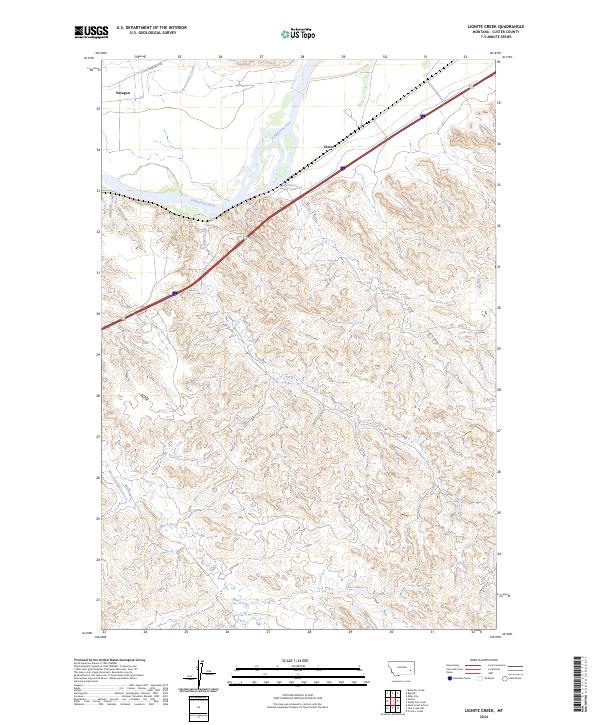
2024 Map of Lignite Creek
USGS Topo · Published 2024About this map
The Yellowstone River cuts across the northern landscape of this Custer County quadrangle, defining the local geography and the path of modern transport corridors. Along its banks and the adjacent railway line, the small settlements of Paragon and Ulmer remain as points of interest for local historians and genealogists tracking the development of eastern Montana's river valleys. The terrain south of the river rises into a series of drainages, where the hydrology shifts from the broad river to smaller, seasonally significant watercourses like Lignite Creek and Coal Creek.
Find a feature on this map
14 named features on this map. Tap any name to fly to it.
Don’t see what you’re looking for? This feature index may not catch every label — zoom into the map to look around manually.
Map Details
Editions of this 2024 Lignite Creek Map
This is the sole edition of this map. No revisions or reprints were ever made.
Other maps of this area

1953 · Miles City
USGS Topo · 1:250,000

1954 · Forsyth
USGS Topo · 1:250,000

1957 · Miles City
USGS Topo · 1:250,000

1957 · Forsyth
USGS Topo · 1:250,000

1958 · Miles City
USGS Topo · 1:250,000

1958 · Forsyth
USGS Topo · 1:250,000

1968 · Big Hill
USGS Topo · 1:24,000

1968 · Miles City
USGS Topo · 1:24,000

1968 · Lignite Creek
USGS Topo · 1:24,000

1968 · Butterfly Creek
USGS Topo · 1:24,000