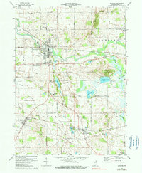
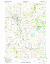
1973 Map of Ligonier
USGS Topo · Published 1990About this map
Ligonier serves as the primary hub of this Noble County landscape, where the Elkhart River meets a network of Penn Central and Baltimore and Ohio railroads. The area's glacial heritage is evident in the dense cluster of kettle lakes and wetlands, including Indian Lake, Eagle Lake, and Diamond Lake, which define the topography alongside the elevated Diamond Hill. A significant historical boundary, the Old Indian Treaty Boundary, cuts diagonally across the townships of Sparta and Perry, marking a legacy of early land divisions. Local rural life is anchored by institutions such as Oak Park Cem, West Noble High Sch, and Perry Center Sch. The small settlements of Cromwell and Kimmell line the southern rail corridor, while numerous gravel pits and ditches like Cromwell Ditch illustrate the region's managed drainage and local industry in the mid-1970s.
Find a feature on this map
50 named features on this map. Tap any name to fly to it.
Don’t see what you’re looking for? This feature index may not catch every label — zoom into the map to look around manually.
Map Details
Editions of this 1973 Ligonier Map
2 editions found
Other maps of this area

1947 · Oliver Lake
USGS Topo · 1:24,000

1950 · North Webster
USGS Topo · 1:24,000

1951 · Wawasee
USGS Topo · 1:24,000

1951 · Ormas
USGS Topo · 1:24,000

1951 · Merriam
USGS Topo · 1:24,000

1953 · Fort Wayne
USGS Topo · 1:250,000

1956 · Fort Wayne
USGS Topo · 1:250,000

1956 · Ligonier
USGS Topo · 1:24,000

1956 · Albion
USGS Topo · 1:24,000

1959 · Topeka
USGS Topo · 1:24,000