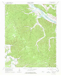
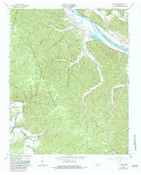
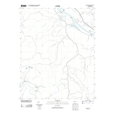
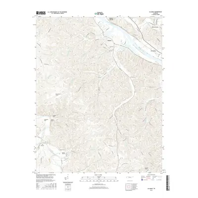
1966 Map of Lillamay
USGS Topo · Published 1977About this map
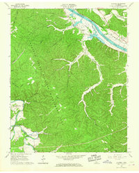
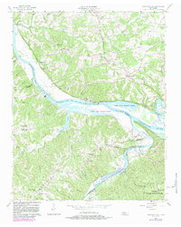
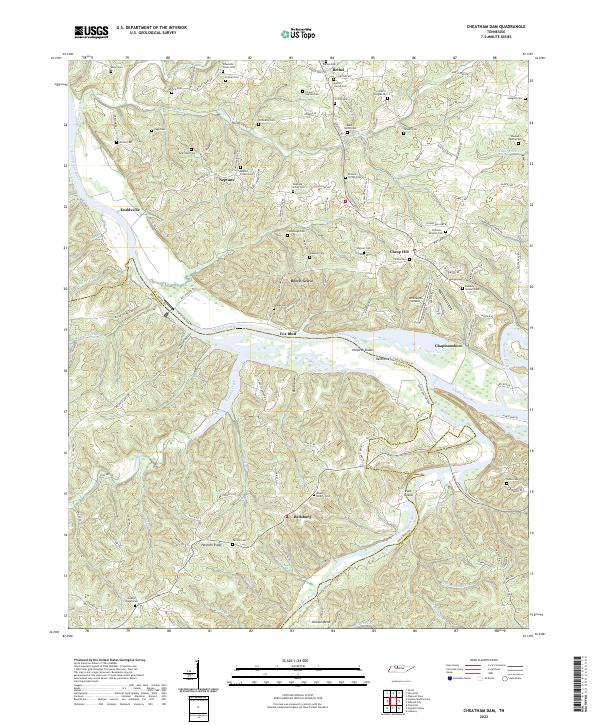
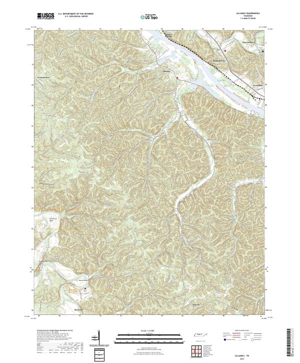
Mound Bottom serves as a focal point of this Tennessee river valley, where a significant loop in the Harpeth River contains ancient Indian Mounds and the Scott Cem. The terrain is defined by the sharp meanders of the Harpeth and the broader flow of the Cumberland River, which forms Cheatham Lake along the northern boundary. Much of the central landscape is dedicated to the Cheatham State Wildlife Management Area, a vast wooded expanse marked by intricate drainage systems like Possumtrot Branch and Little Dry Creek.
Find a feature on this map
38 named features on this map. Tap any name to fly to it.
Don’t see what you’re looking for? This feature index may not catch every label — zoom into the map to look around manually.
Map Details
Editions of this 1966 Lillamay Map
3 editions found
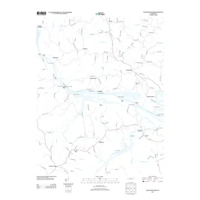
Historical Maps of Nashville Through Time
19 maps found
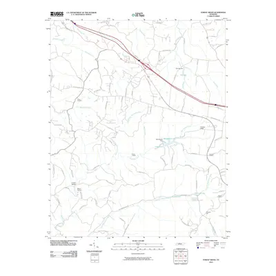
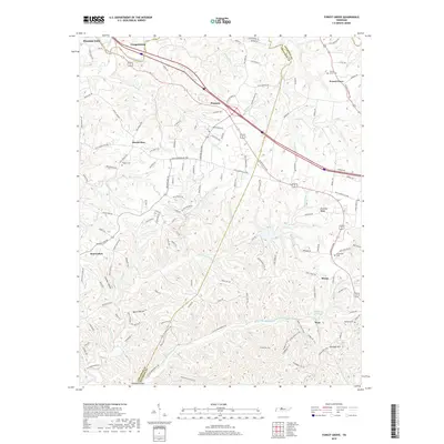
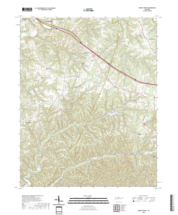
1955 Forest Grove
Cheatham County, TN
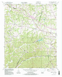
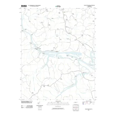
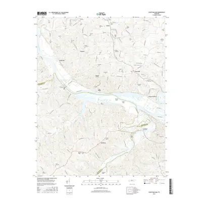
1957 Cheatham Dam
Cheatham County, TN
1966 Lillamay
Cheatham County, TN
1994 Forest Grove
Cheatham County, TN
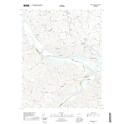
2010 Cheatham Dam
Cheatham County, TN
2010 Forest Grove
Cheatham County, TN
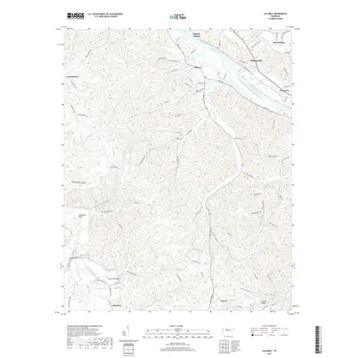
2010 Lillamay
Cheatham County, TN
2013 Cheatham Dam
Cheatham County, TN
2013 Forest Grove
Cheatham County, TN

2013 Lillamay
Cheatham County, TN
2016 Cheatham Dam
Cheatham County, TN

2016 Forest Grove
Cheatham County, TN
2016 Lillamay
Cheatham County, TN
2019 Cheatham Dam
Cheatham County, TN
2019 Forest Grove
Cheatham County, TN
2019 Lillamay
Cheatham County, TN
2022 Cheatham Dam
Cheatham County, TN
2022 Forest Grove
Cheatham County, TN
2022 Lillamay
Cheatham County, TN