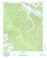
1966 Map of Lillamay
USGS Topo · Published 1984About this map
The Cheatham Wildlife Management Area dominates this landscape, covering a complex system of ridges and hollows that separate the Cumberland River from the lower loops of the Harpeth River. A notable historical concentration exists at the southern end of the sheet, where Mound Bottom and Indian Mounds occupy a sharp bend in the river, indicating long-standing indigenous occupation of these fertile bottomlands. These earthworks are located near The Narrows, a distinctive geological pinch point south of Horseshoe Bend.
Find a feature on this map
38 named features on this map. Tap any name to fly to it.
Don’t see what you’re looking for? This feature index may not catch every label — zoom into the map to look around manually.
Map Details
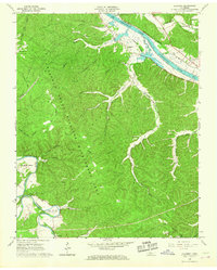
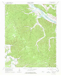
Editions of this 1966 Lillamay Map
3 editions found
Other maps of this area

1903 · Nashville
USGS Topo · 1:125,000

1930 · White Bluff
USGS Topo · 1:62,500

1931 · Ridgetop
USGS Topo · 1:62,500

1932 · Nashville
USGS Topo · 1:62,500

1933 · White Bluff
USGS Topo · 1:62,500

1935 · Ridgetop
USGS Topo · 1:62,500

1955 · Forest Grove
USGS Topo · 1:24,000

1955 · Scottsboro
USGS Topo · 1:24,000
1955 · Belleview
USGS Topo · 1:24,000

1956 · Nashville
USGS Topo · 1:250,000