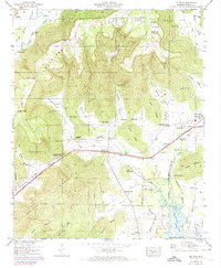
1947 Map of Lim Rock
USGS Topo · Published 1974About this map
Cumberland Plateau terrain dominates this Jackson County landscape, where deep coves and narrow ridges separate the scattered settlements of the late 1940s. The Southern Railway and Lee Highway create a primary east-west corridor through the valley, connecting Lim Rock and Larkinsville below the rising slopes of Nat Mountain. The mapping reveals a rural society structured around small family cemeteries and country churches, such as Bethlehem Church and Jennies Chapel.
Find a feature on this map
74 named features on this map. Tap any name to fly to it.
Don’t see what you’re looking for? This feature index may not catch every label — zoom into the map to look around manually.
Map Details
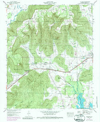
Editions of this 1947 Lim Rock Map
2 editions found
Other maps of this area

1888 · Scottsboro
USGS Topo · 1:125,000

1892 · Scottsboro
USGS Topo · 1:125,000

1936 · Scottsboro
USGS Topo · 1:24,000

1936 · Langston
USGS Topo · 1:24,000

1936 · Hollytree
USGS Topo · 1:24,000

1936 · Mud Creek
USGS Topo · 1:24,000

1936 · Grant
USGS Topo · 1:24,000

1936 · Princeton
USGS Topo · 1:24,000

1936 · Lim Rock
USGS Topo · 1:24,000
1936 · Swearengin
USGS Topo · 1:24,000