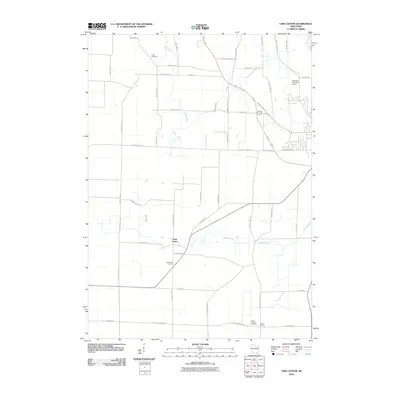
2010 Map of Lima Center
USGS Topo · Published 2010About this map
Lima Center and Utters Corners define the settlement pattern of this rural Rock County landscape as it appeared in the early 21st century. The terrain is characterized by a dense grid of agricultural roads, including N Lima Center Rd and N County Line Rd, reflecting a long history of dairy farming and land division. Several family and community landmarks remain central to the area's geography, such as Union Cemetery in the north and the Lima Center Cemetery situated near the town center.
Find a feature on this map
48 named features on this map. Tap any name to fly to it.
Don’t see what you’re looking for? This feature index may not catch every label — zoom into the map to look around manually.
Map Details
Editions of this 2010 Lima Center Map
This is the sole edition of this map. No revisions or reprints were ever made.
Other maps of this area

1891 · Koshkonong
USGS Topo · 1:62,500

1892 · Whitewater
USGS Topo · 1:62,500

1893 · Delavan
USGS Topo · 1:62,500

1893 · Whitewater
USGS Topo · 1:62,500

1893 · Shopiere
USGS Topo · 1:62,500

1894 · Koshkonong
USGS Topo · 1:62,500

1903 · Whitewater
USGS Topo · 1:62,500

1906 · Koshkonong
USGS Topo · 1:62,500

1924 · Whitewater
USGS Topo · 1:62,500

1954 · Rockford
USGS Topo · 1:250,000