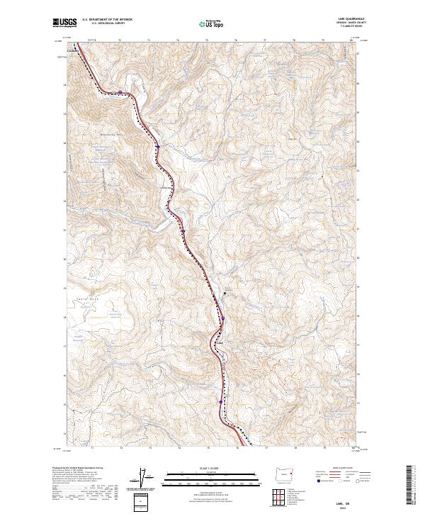
2023 Map of Lime
USGS Topo · Published 2023About this map
Burnt River carves through this corner of Baker County, anchoring a corridor of historical movement and settlement. The small communities of Weatherby and Lime follow the river's winding path, while Caribou Bar sits at a narrow point in the valley. The terrain is defined by prominent peaks including Weatherby Mtn, Morgan Mtn, and the distinctive Table Rock. Local history is preserved at the Dixie Cem near the riverbanks, reflecting the generational presence of ranching and transit families. A network of named springs such as Lucky Spring and New Seeding Spring Number One dot the highlands, essential for life in this arid landscape. The road network, including Rye Valley Ln and the evocative Oregon Trail Blvd, highlights the area's role as a vital passage through the mountains of eastern Oregon.
Find a feature on this map
88 named features on this map. Tap any name to fly to it.
Don’t see what you’re looking for? This feature index may not catch every label — zoom into the map to look around manually.
Map Details
Editions of this 2023 Lime Map
This is the sole edition of this map. No revisions or reprints were ever made.
Other maps of this area

1915 · Pine
USGS Topo · 1:125,000

1951 · Huntington
USGS Topo · 1:62,500

1952 · Olds Ferry NW
USGS Topo · 1:24,000

1952 · Olds Ferry
USGS Topo · 1:24,000

1952 · Olds Ferry
USGS Topo · 1:62,500

1955 · Baker
USGS Topo · 1:250,000

1957 · Durkee
USGS Topo · 1:62,500

1957 · Mineral
USGS Topo · 1:62,500

1959 · Baker
USGS Topo · 1:250,000

1980 · Brogan
USGS Topo · 1:100,000