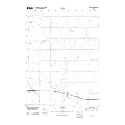
2010 Map of Lime City
USGS Topo · Published 2010About this map
Lime City and the small settlement of Ayresville define the rural landscape of Cedar County in this 2010 topographic record. The area is heavily intersected by a grid of agricultural routes and historical paths like Old Muscatine Rd, which cuts diagonally across the township lines. This map is particularly notable for its dense concentration of pioneer-era burial sites and community landmarks, reflecting the deep genealogical roots of the region. From the Lime City Cemetery near the southern edge to the Bradley Cemetery in the north, over a dozen named cemeteries are preserved here, alongside educational sites like Bolton School and Union School. The natural drainage of the land is shaped by Sugar Creek, which meanders through the center of the quadrangle, while recreation is represented by the Blackhawk Bottoms Public Hunting Area and several campgrounds such as Koch Lake Campground.
Find a feature on this map
51 named features on this map. Tap any name to fly to it.
Don’t see what you’re looking for? This feature index may not catch every label — zoom into the map to look around manually.
Map Details
Editions of this 2010 Lime City Map
This is the sole edition of this map. No revisions or reprints were ever made.
Other maps of this area

1889 · Tipton
USGS Topo · 1:62,500

1890 · Durant
USGS Topo · 1:62,500

1890 · Tipton
USGS Topo · 1:62,500

1891 · Wilton Junction
USGS Topo · 1:62,500

1892 · Wheatland
USGS Topo · 1:62,500

1894 · Wheatland
USGS Topo · 1:62,500

1894 · Durant
USGS Topo · 1:62,500

1901 · Rock Island
USGS Topo · 1:125,000

1901 · Stanwood
USGS Topo · 1:125,000

1910 · Rock Island
USGS Topo · 1:125,000