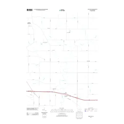
2013 Map of Lime City
USGS Topo · Published 2013About this map
Lime City and the small settlement of Ayresville define the rural character of Cedar County in this early 21st-century record. The landscape is primarily organized by a rigid grid of country roads, including Old Muscatine Rd and National Rd, reflecting the region's agricultural heritage and systematic land division. Traces of local education remain visible through landmarks like the Bolton School and Union School, while the southern portion of the sheet is dominated by the modern infrastructure of Interstate 80, including the Wilton West Bound Rest Area and its eastbound counterpart.
Find a feature on this map
42 named features on this map. Tap any name to fly to it.
Don’t see what you’re looking for? This feature index may not catch every label — zoom into the map to look around manually.
Map Details
Editions of this 2013 Lime City Map
This is the sole edition of this map. No revisions or reprints were ever made.
Other maps of this area

1889 · Tipton
USGS Topo · 1:62,500

1890 · Durant
USGS Topo · 1:62,500

1890 · Tipton
USGS Topo · 1:62,500

1891 · Wilton Junction
USGS Topo · 1:62,500

1892 · Wheatland
USGS Topo · 1:62,500

1894 · Wheatland
USGS Topo · 1:62,500

1894 · Durant
USGS Topo · 1:62,500

1901 · Rock Island
USGS Topo · 1:125,000

1901 · Stanwood
USGS Topo · 1:125,000

1910 · Rock Island
USGS Topo · 1:125,000