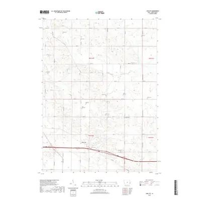
2018 Map of Lime City
USGS Topo · Published 2018About this map
Lime City serves as the focal point of this Cedar County landscape, where the rural character of eastern Iowa is defined by a dense network of country roads and family cemeteries. The topography is carved by Sugar Creek and its tributaries, including Bennett Creek and Crooked Creek, which wind through the township divisions of t80n r2w and t79n r2w. This 2018 survey reveals a remarkably preserved record of 19th-century settlement through its burial grounds, such as Centerville Cem and South Bethel Cem.
Find a feature on this map
53 named features on this map. Tap any name to fly to it.
Don’t see what you’re looking for? This feature index may not catch every label — zoom into the map to look around manually.
Map Details
Editions of this 2018 Lime City Map
This is the sole edition of this map. No revisions or reprints were ever made.
Other maps of this area

1889 · Tipton
USGS Topo · 1:62,500

1890 · Durant
USGS Topo · 1:62,500

1890 · Tipton
USGS Topo · 1:62,500

1891 · Wilton Junction
USGS Topo · 1:62,500

1892 · Wheatland
USGS Topo · 1:62,500

1894 · Wheatland
USGS Topo · 1:62,500

1894 · Durant
USGS Topo · 1:62,500

1901 · Rock Island
USGS Topo · 1:125,000

1901 · Stanwood
USGS Topo · 1:125,000

1910 · Rock Island
USGS Topo · 1:125,000