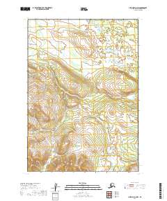
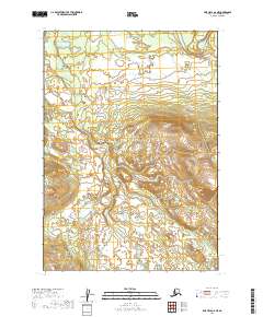
2019 Map of LIme Hills A-6 NW
USGS Topo · Published 2019About this map
Salmon Berry Lake sits at the northern edge of this high-latitude terrain, where the landscape is defined by dramatic elevation changes. The southern portion of the sheet rises into significant ridges, while the northern sections transition into a flatter basin dotted with smaller, unnamed water bodies. This 2019 survey documents the intricate township and range divisions of the t13n r33w, t13n r32w, t12n r34w, and t12n r33w survey lines, providing a precise grid over a largely untouched wilderness. The absence of roads or developed settlements highlights the remote character of the Bethel Census Area, where the topography remains the primary guide for navigation and land management.
Find a feature on this map
5 named features on this map. Tap any name to fly to it.
Don’t see what you’re looking for? This feature index may not catch every label — zoom into the map to look around manually.
Map Details
Editions of this 2019 LIme Hills A-6 NW Map
This is the sole edition of this map. No revisions or reprints were ever made.
Other maps of this area

1951 · Lime Hills
USGS Topo · 1:250,000

1954 · Lime Hills B-7
USGS Topo · 1:63,360

1954 · Lime Hills A-7
USGS Topo · 1:63,360

1954 · Lime Hills A-6
USGS Topo · 1:63,360

1954 · Lime Hills B-6
USGS Topo · 1:63,360

1958 · Lime Hills
USGS Topo · 1:250,000
2019 · Lime Hills A-7 SE
USGS Topo · 1:25,000
2019 · Lime Hills B-6 SW
USGS Topo · 1:25,000
2019 · Lime Hills B-7 SE
USGS Topo · 1:25,000
2019 · Lime Hills A-6 NE
USGS Topo · 1:25,000