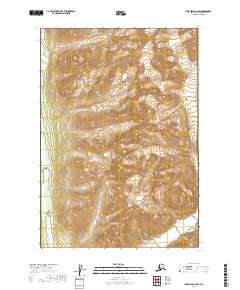
2019 Map of Lime Hills B-2 NW
USGS Topo · Published 2019About this map
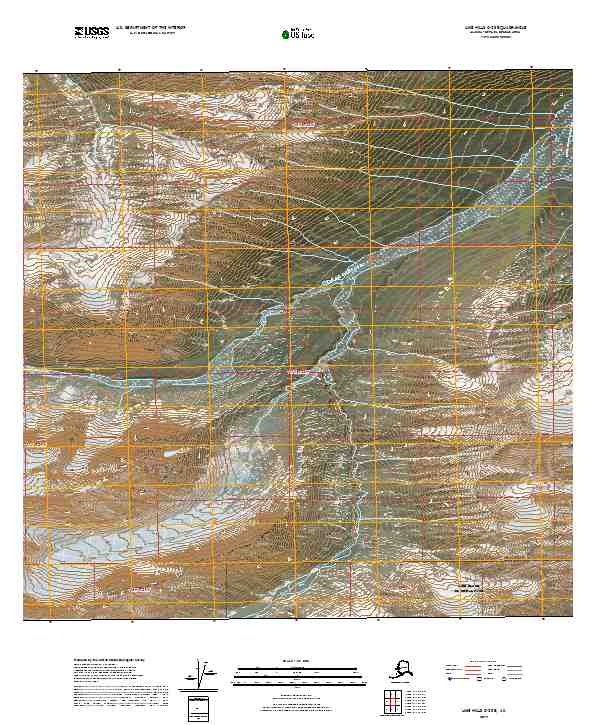
Stony River winds through the southwestern corner of this high-altitude landscape in the Bethel Census Area, serving as the primary hydrological feature in an otherwise unpopulated mountain wilderness. The 2019 survey documents a terrain defined by dramatic elevation changes and alpine glaciers, with the drainage patterns of the Stony River valley carving deep into the western slopes. Surveyed boundaries for T16n R25w, T16n R24w, T15n R25w, and T15n R24w partition this section of the Lime Hills, where the lack of named human settlements or infrastructure emphasizes the region's character as a remote natural frontier. The map provides a precise record of the glacial extent and landforms as they existed at the end of the second decade of the 2000s.
Find a feature on this map
5 named features on this map. Tap any name to fly to it.
Don’t see what you’re looking for? This feature index may not catch every label — zoom into the map to look around manually.
Map Details
Editions of this 2019 Lime Hills B-2 NW Map
This is the sole edition of this map. No revisions or reprints were ever made.
Other maps of this area

1951 · Lime Hills
USGS Topo · 1:250,000

1954 · Lime Hills B-3
USGS Topo · 1:63,360

1958 · Lime Hills C-3
USGS Topo · 1:63,360

1958 · Lime Hills C-2
USGS Topo · 1:63,360
1958 · Lime Hills B-2
USGS Topo · 1:63,360

1958 · Lime Hills
USGS Topo · 1:250,000
2019 · Lime Hills B-2 SE
USGS Topo · 1:25,000
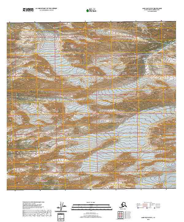
2019 · Lime Hills C-2 SW
USGS Topo · 1:25,000
2019 · Lime Hills C-2 SE
USGS Topo · 1:25,000
2019 · Lime Hills B-2 NE
USGS Topo · 1:25,000