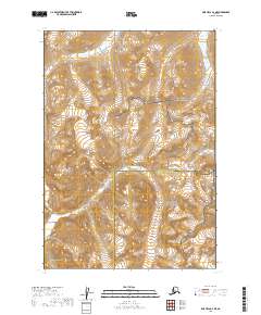
2019 Map of Lime Hills B-2 NE
USGS Topo · Published 2019About this map
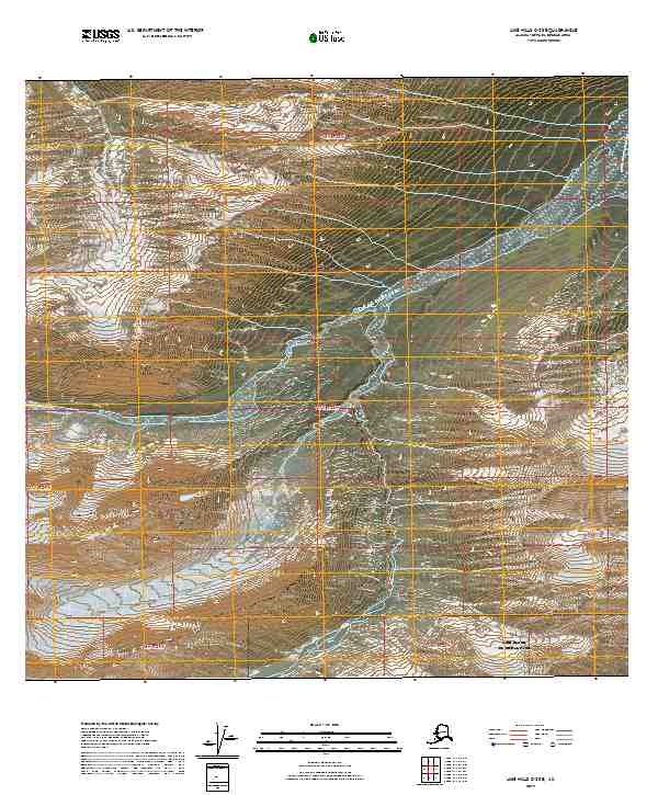
The Bethel Census Area and Kenai Peninsula Borough boundary line bisects this high-elevation terrain, marking a political division across a landscape defined by protected wilderness. The northern portion of the quadrangle is occupied by Lake Clark National Park, while the southern half transitions into the Lake Clark National Preserve. This 2019 survey illustrates the intricate drainage patterns and contour intervals of the Lime Hills region, where the land is strictly managed for conservation. The absence of named settlements or infrastructure reflects the intentional preservation of this Alaskan interior, providing a clear record of the topography within these contiguous federal lands.
Find a feature on this map
7 named features on this map. Tap any name to fly to it.
Don’t see what you’re looking for? This feature index may not catch every label — zoom into the map to look around manually.
Map Details
Editions of this 2019 Lime Hills B-2 NE Map
This is the sole edition of this map. No revisions or reprints were ever made.
Other maps of this area

1951 · Lime Hills
USGS Topo · 1:250,000

1958 · Lime Hills B-1
USGS Topo · 1:63,360

1958 · Lime Hills C-1
USGS Topo · 1:63,360

1958 · Lime Hills C-2
USGS Topo · 1:63,360
1958 · Lime Hills B-2
USGS Topo · 1:63,360

1958 · Lime Hills
USGS Topo · 1:250,000
2019 · Lime Hills B-2 SE
USGS Topo · 1:25,000
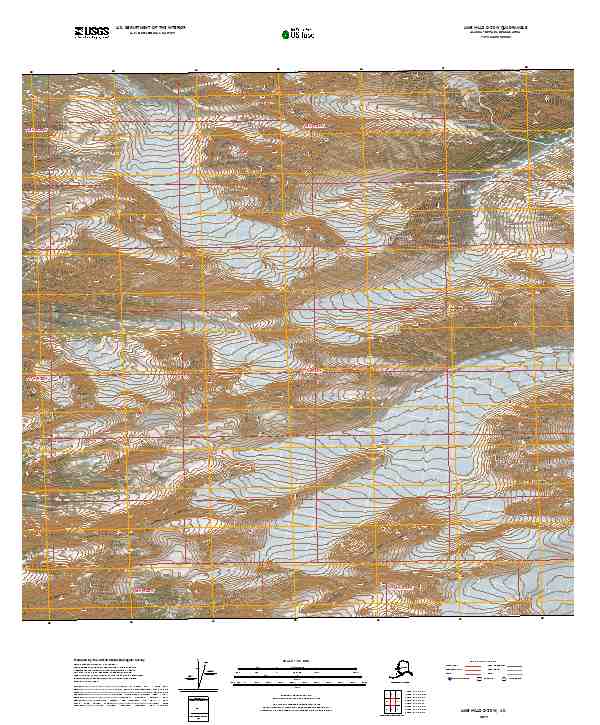
2019 · Lime Hills C-2 SW
USGS Topo · 1:25,000
2019 · Lime Hills C-2 SE
USGS Topo · 1:25,000
2019 · Lime Hills B-1 NW
USGS Topo · 1:25,000