
1958 Map of Lime Hills C-1
USGS Topo · Published 1965About this map
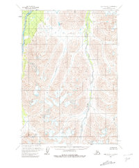
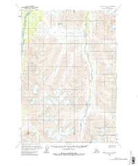
The South Fork Kuskokwim River defines the western edge of this interior landscape, marking a significant drainage route through the northern foothills of the Alaska Range. This area, mapped in the late 1950s using photogrammetric methods from aerial photography, reveals a wilderness dominated by steep glacial valleys and unnamed peaks. Parallel to the Kuskokwim drainage, the Styx River cuts a deep path through the center of the sheet, eventually winding towards the south. Evidence of the region's hydrologic complexity is found in smaller features like Jimmy Lake in the north and the headwaters of Crystal Creek in the southeast. The map illustrates a transitional terrain where high-elevation glacial ice and permanent snowfields give way to river-carved valleys, prior to any significant modern development or established road infrastructure.
Find a feature on this map
7 named features on this map. Tap any name to fly to it.
Don’t see what you’re looking for? This feature index may not catch every label — zoom into the map to look around manually.
Map Details
Editions of this 1958 Lime Hills C-1 Map
3 editions found
Other maps of this area

1949 · Tyonek
USGS Topo · 1:250,000

1951 · Tyonek
USGS Topo · 1:250,000

1951 · Lime Hills
USGS Topo · 1:250,000

1958 · Tyonek B-8
USGS Topo · 1:63,360

1958 · Tyonek C-8
USGS Topo · 1:63,360

1958 · Tyonek D-8
USGS Topo · 1:63,360

1958 · Tyonek
USGS Topo · 1:250,000

1958 · Lime Hills B-1
USGS Topo · 1:63,360
1958 · Lime Hills D-1
USGS Topo · 1:63,360

1958 · Lime Hills C-2
USGS Topo · 1:63,360