
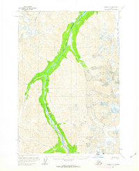
1958 Map of Tyonek C-8
USGS Topo · Published 1963About this map
Skwentna River dominates this mid-century Alaskan landscape, its wide glacial valley cutting a distinct path through the high peaks of the Seward Meridian. Based on aerial photography from the 1950s, this survey by the U.S. Geological Survey captures a wild and roadless interior. To the northeast, the Black and Tan Glacier descends from the ridges, feeding the complex drainage network of Emerald Creek and Crystal Creek. The map provides a precise look at the land lines and township boundaries predetermined by the Bureau of Land Management, even though much of the terrain remained unsurveyed and unmarked on the ground at the time of publication.
Find a feature on this map
7 named features on this map. Tap any name to fly to it.
Don’t see what you’re looking for? This feature index may not catch every label — zoom into the map to look around manually.
Map Details
Editions of this 1958 Tyonek C-8 Map
2 editions found
Other maps of this area

1949 · Tyonek
USGS Topo · 1:250,000

1951 · Tyonek
USGS Topo · 1:250,000

1951 · Lime Hills
USGS Topo · 1:250,000

1958 · Tyonek B-8
USGS Topo · 1:63,360

1958 · Tyonek D-8
USGS Topo · 1:63,360

1958 · Tyonek
USGS Topo · 1:250,000

1958 · Lime Hills B-1
USGS Topo · 1:63,360
1958 · Lime Hills D-1
USGS Topo · 1:63,360
1958 · Tyonek B-7
USGS Topo · 1:63,360

1958 · Lime Hills C-1
USGS Topo · 1:63,360