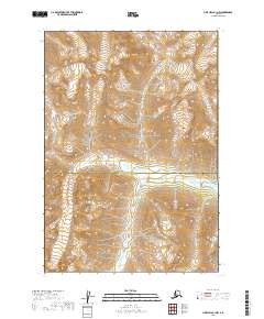
2019 Map of Lime Hills B-1 NW
USGS Topo · Published 2019About this map
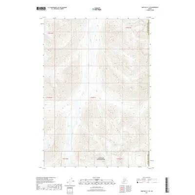
Lake Clark National Park encompasses the majority of this Alaskan wilderness, where the high-altitude terrain is defined by dramatic glacial valleys and massive ice fields. The Bethel Census Area and Kenai Peninsula Borough boundary bisects the lower third of the landscape, following the southern edge of the Chilligan River valley. This glacial river system serves as the primary drainage for the surrounding peaks, carving a path through the steep topography of the western Alaska Range. The absence of roads or established settlements emphasizes the remote nature of this protected interior, where the U.S. Geological Survey documented the shifting margins of snow and ice during this 2019 survey.
Find a feature on this map
7 named features on this map. Tap any name to fly to it.
Don’t see what you’re looking for? This feature index may not catch every label — zoom into the map to look around manually.
Map Details
Editions of this 2019 Lime Hills B-1 NW Map
This is the sole edition of this map. No revisions or reprints were ever made.
Other maps of this area

1951 · Lime Hills
USGS Topo · 1:250,000

1958 · Lime Hills B-1
USGS Topo · 1:63,360

1958 · Lime Hills C-1
USGS Topo · 1:63,360

1958 · Lime Hills C-2
USGS Topo · 1:63,360
1958 · Lime Hills B-2
USGS Topo · 1:63,360

1958 · Lime Hills
USGS Topo · 1:250,000
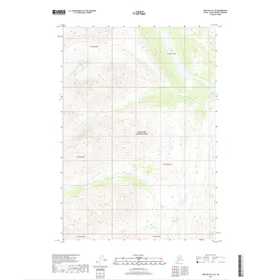
2017 · Lime Hills B-1 SE
USGS Topo · 1:25,000
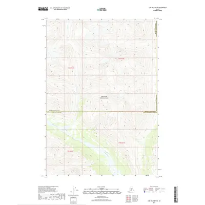
2017 · Lime Hills B-1 NE
USGS Topo · 1:25,000
2017 · Lime Hills C-1 SE
USGS Topo · 1:25,000
2019 · Lime Hills B-2 SE
USGS Topo · 1:25,000