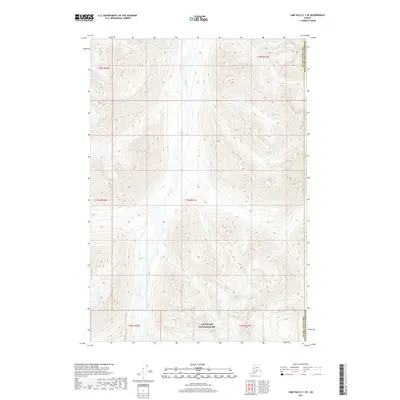
2017 Map of Lime Hills C-1 SE
USGS Topo · Published 2017About this map
Lake Clark National Park anchors the southern boundary of this 2017 survey, where the glacial landscape meets the administrative border of the Matanuska-Susitna Borough. The central corridor is dominated by the braided channel of the Styx River, which flows through high alpine terrain defined by steep contour intervals and unnamed peaks. In the southeastern portion of the quadrangle, Crystal Cr cuts through the ridges near the Bethel Census Area line. This map illustrates the transition from protected federal parklands to the expansive wilderness of the Alaskan interior, showing a landscape almost entirely devoid of modern infrastructure or established roads, preserved in its mid-2010s state.
Find a feature on this map
10 named features on this map. Tap any name to fly to it.
Don’t see what you’re looking for? This feature index may not catch every label — zoom into the map to look around manually.
Map Details
Editions of this 2017 Lime Hills C-1 SE Map
This is the sole edition of this map. No revisions or reprints were ever made.
Other maps of this area

1949 · Tyonek
USGS Topo · 1:250,000

1951 · Tyonek
USGS Topo · 1:250,000

1951 · Lime Hills
USGS Topo · 1:250,000

1958 · Tyonek B-8
USGS Topo · 1:63,360

1958 · Tyonek C-8
USGS Topo · 1:63,360

1958 · Tyonek
USGS Topo · 1:250,000

1958 · Lime Hills B-1
USGS Topo · 1:63,360

1958 · Lime Hills C-1
USGS Topo · 1:63,360

1958 · Lime Hills
USGS Topo · 1:250,000

1965 · Tyonek
USGS Topo · 1:250,000