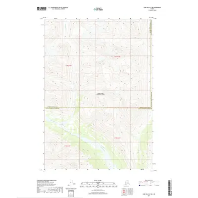
2017 Map of Lime Hills B-1 NE
USGS Topo · Published 2017About this map
Lake Clark National Park anchors this terrain, representing a wilderness landscape where significant administrative boundaries converge. In the southern portion of the map, the Chilligan River winds through the valley floor, while the Styx River occupies the northern reaches. This 2017 survey illustrates the complex intersection of three major Alaskan jurisdictions: the Bethel Census Area, the Kenai Peninsula Borough, and the Matanuska-Susitna Borough. These boundaries meet amidst a landscape defined by dramatic elevation changes, captured during a period when modern digital mapping integrated historical Public Land Survey System data such as t16n r21w and t15n r22w. The lack of named roads or settlements highlights the isolation of this protected region, focusing instead on the hydrography and the precise demarcation of borough lines across the mountainous interior.
Find a feature on this map
9 named features on this map. Tap any name to fly to it.
Don’t see what you’re looking for? This feature index may not catch every label — zoom into the map to look around manually.
Map Details
Editions of this 2017 Lime Hills B-1 NE Map
This is the sole edition of this map. No revisions or reprints were ever made.
Other maps of this area

1949 · Tyonek
USGS Topo · 1:250,000

1951 · Tyonek
USGS Topo · 1:250,000

1951 · Lime Hills
USGS Topo · 1:250,000

1958 · Tyonek B-8
USGS Topo · 1:63,360

1958 · Tyonek C-8
USGS Topo · 1:63,360

1958 · Tyonek
USGS Topo · 1:250,000

1958 · Lime Hills B-1
USGS Topo · 1:63,360

1958 · Lime Hills C-1
USGS Topo · 1:63,360

1958 · Lime Hills
USGS Topo · 1:250,000

1965 · Tyonek
USGS Topo · 1:250,000