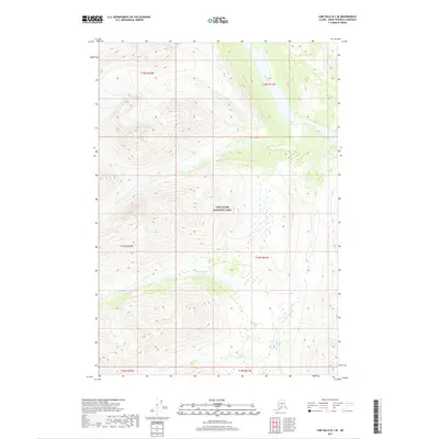
2017 Map of Lime Hills B-1 SE
USGS Topo · Published 2017About this map
Lake Clark National Park encompasses the majority of this landscape in the Kenai Peninsula Borough, preserving a wilderness of dramatic elevation changes and glacially influenced drainage systems. The Igitna River flows westward through the central portion of the quadrangle, while the Chilligan River meanders across the northeastern corner. These watercourses are the primary geographical anchors in a territory defined by the Public Land Survey System grids of t14n r22w, t14n r21w, and surrounding townships. This 2017 survey reflects the enduring character of Alaska's interior parklands, where the absence of roads or permanent settlements highlights a landscape where natural topography remains the dominant feature for navigation and conservation.
Find a feature on this map
9 named features on this map. Tap any name to fly to it.
Don’t see what you’re looking for? This feature index may not catch every label — zoom into the map to look around manually.
Map Details
Editions of this 2017 Lime Hills B-1 SE Map
This is the sole edition of this map. No revisions or reprints were ever made.
Other maps of this area

1949 · Tyonek
USGS Topo · 1:250,000

1951 · Tyonek
USGS Topo · 1:250,000

1951 · Lime Hills
USGS Topo · 1:250,000

1958 · Tyonek B-8
USGS Topo · 1:63,360

1958 · Tyonek
USGS Topo · 1:250,000

1958 · Tyonek A-8
USGS Topo · 1:63,360

1958 · Lime Hills B-1
USGS Topo · 1:63,360
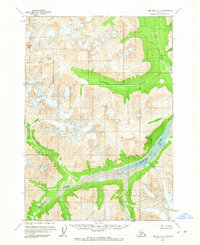
1958 · Lime Hills A-1
USGS Topo · 1:63,360

1958 · Lime Hills
USGS Topo · 1:250,000

1965 · Tyonek
USGS Topo · 1:250,000