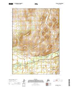
2019 Map of Lime Hills C-7 NE
USGS Topo · Published 2019About this map
The Gagaryah River meanders across this interior landscape within the Bethel Census Area, illustrating the complex hydrography of the Lime Hills region. This 2019 survey provides a precise look at the township and range divisions, specifically the boundaries between T19n R34w, T19n R33w, T18n R34w, and T18n R33w. Unlike more settled regions, the map highlights a terrain defined entirely by its natural hydrology and the formal Public Land Survey System, with no recorded roads or structures, preserving the state of the wilderness as it was recorded at the end of the second decade of the 21st century.
Find a feature on this map
5 named features on this map. Tap any name to fly to it.
Don’t see what you’re looking for? This feature index may not catch every label — zoom into the map to look around manually.
Map Details
Editions of this 2019 Lime Hills C-7 NE Map
This is the sole edition of this map. No revisions or reprints were ever made.
Other maps of this area

1951 · Lime Hills
USGS Topo · 1:250,000
1954 · Lime Hills D-7
USGS Topo · 1:63,360
1954 · Lime Hills C-7
USGS Topo · 1:63,360

1954 · Lime Hills D-6
USGS Topo · 1:63,360

1954 · Lime Hills C-6
USGS Topo · 1:63,360

1958 · Lime Hills
USGS Topo · 1:250,000
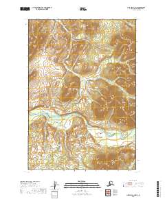
2019 · Lime Hills C-6 NW
USGS Topo · 1:25,000
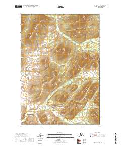
2019 · LIme Hills D-6 SW
USGS Topo · 1:25,000
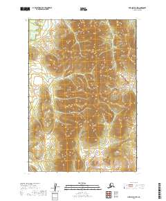
2019 · Lime Hills D-7 SW
USGS Topo · 1:25,000
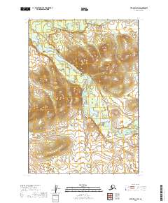
2019 · Lime Hills C-7 SW
USGS Topo · 1:25,000