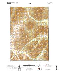
2019 Map of LIme Hills D-6 SW
USGS Topo · Published 2019About this map
Uninhabited wilderness dominates this high-altitude section of the Bethel Census Area, defined primarily by its complex topography and the grid of the Public Land Survey System. The map documents the intersections of several townships, including T21n R32w and T20n R33w, where the terrain rises to elevations exceeding 2,400 feet. Unlike many settled areas, this landscape lacks named settlements, roads, or human structures, leaving the natural drainage patterns and contour lines to tell the story of the land. It provides a technical record of the land as it existed in the early 21st century, showing how modern surveying by the U.S. Geological Survey and the Bureau of Land Management classifies even the most remote Alaskan interior.
Find a feature on this map
6 named features on this map. Tap any name to fly to it.
Don’t see what you’re looking for? This feature index may not catch every label — zoom into the map to look around manually.
Map Details
Editions of this 2019 LIme Hills D-6 SW Map
This is the sole edition of this map. No revisions or reprints were ever made.
Other maps of this area

1951 · Lime Hills
USGS Topo · 1:250,000
1954 · Lime Hills D-7
USGS Topo · 1:63,360
1954 · Lime Hills C-7
USGS Topo · 1:63,360

1954 · Lime Hills D-6
USGS Topo · 1:63,360

1954 · Lime Hills C-6
USGS Topo · 1:63,360

1958 · Lime Hills
USGS Topo · 1:250,000
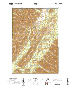
2019 · Lime Hills D-6 NE
USGS Topo · 1:25,000
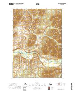
2019 · Lime Hills C-6 NW
USGS Topo · 1:25,000
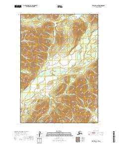
2019 · Lime Hills C-6 NE
USGS Topo · 1:25,000
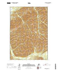
2019 · Lime Hills D-6 NW
USGS Topo · 1:25,000