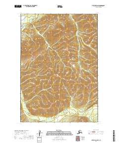
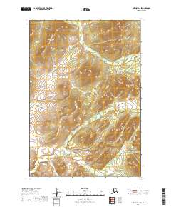
2019 Map of Lime Hills D-6 NW
USGS Topo · Published 2019About this map
Cheeneetnuk River winds through the northern portion of this landscape within the Bethel Census Area, marking the drainage patterns of this high-latitude terrain. The topography is dominated by dramatic elevation changes, captured during this 2019 survey, where the river and Shoeleather Cr serve as the primary natural corridors. This area is characterized by the absence of permanent settlements or road infrastructure, highlighting the preservation of wilderness at the edge of the Alaska interior. The land is organized by the Public Land Survey System, spanning Township 22 North and Township 21 North, across Ranges 32 and 33 West. Researchers of Alaskan geography will find the water systems here are the defining features of the district, as the intricate contour lines illustrate the steep drainage basins feeding into these named waterways.
Find a feature on this map
6 named features on this map. Tap any name to fly to it.
Don’t see what you’re looking for? This feature index may not catch every label — zoom into the map to look around manually.
Map Details
Editions of this 2019 Lime Hills D-6 NW Map
This is the sole edition of this map. No revisions or reprints were ever made.
Other maps of this area

1949 · McGrath
USGS Topo · 1:250,000

1950 · McGrath
USGS Topo · 1:250,000

1951 · Lime Hills
USGS Topo · 1:250,000
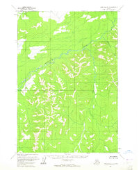
1954 · Lime Hills D-7
USGS Topo · 1:63,360

1954 · Lime Hills D-6
USGS Topo · 1:63,360
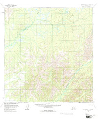
1954 · McGrath A-5
USGS Topo · 1:63,360

1958 · McGrath
USGS Topo · 1:250,000

1958 · Lime Hills
USGS Topo · 1:250,000
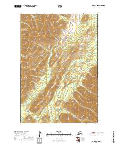
2019 · Lime Hills D-6 NE
USGS Topo · 1:25,000
2019 · LIme Hills D-6 SW
USGS Topo · 1:25,000