
1958 Map of McGrath
USGS Topo · Published 1967About this map
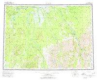
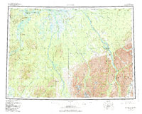
McGrath serves as the focal point for this expansive look at the Alaskan interior during the mid-1950s, situated at the confluence of the Takotna River and the Kuskokwim River. The landscape is defined by the braided networks of the Big River and Middle Fork, which cut through the lowland swamps toward the massive Alaska Range in the southeast. Evidence of the region's transport history is visible in the network of winter trails and jeep trails connecting isolated points like Big River Roadhouse and the Farewell Landing Field. The geography transitions from the flat river basins near Vinasale Mountain to the high peaks of Egypt Mtn and Knox Peak. For those tracing the history of aviation and supply in the bush, the map captures essential landmarks including Sterling Landing and the Farewell Lake Lodge, marking the points where water, air, and land travel converged before more modern infrastructure arrived.
Find a feature on this map
83 named features on this map. Tap any name to fly to it.
Don’t see what you’re looking for? This feature index may not catch every label — zoom into the map to look around manually.
Map Details
Editions of this 1958 McGrath Map
3 editions found
Other maps of this area

1949 · Tyonek
USGS Topo · 1:250,000

1949 · McGrath
USGS Topo · 1:250,000

1950 · Medfra
USGS Topo · 1:250,000

1950 · Sleetmute
USGS Topo · 1:250,000

1950 · McGrath
USGS Topo · 1:250,000

1950 · Talkeetna
USGS Topo · 1:250,000

1951 · Talkeetna
USGS Topo · 1:250,000

1951 · Ophir
USGS Topo · 1:250,000

1951 · Tyonek
USGS Topo · 1:250,000

1951 · Lime Hills
USGS Topo · 1:250,000