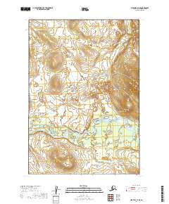
2019 Map of Lime Hills C-7 SE
USGS Topo · Published 2019About this map
Swift River dominates the lower third of this 2019 survey, winding through a series of braided channels and sandbars within the Bethel Census Area. The terrain is characterized by complex hydrography and varying elevations, with the river system defining the movement of water across this interior Alaskan landscape. While the region is devoid of named settlements or infrastructure, the map provides a precise record of the public land survey system grid, including portions of t17n r34w, t17n r33w, and t18n r34w. The detailed contour lines reveal the undulating topography that shapes the drainage patterns of the Swift River basin, offering a modern look at this remote wilderness region as it was documented in the late twenty-first century.
Find a feature on this map
7 named features on this map. Tap any name to fly to it.
Don’t see what you’re looking for? This feature index may not catch every label — zoom into the map to look around manually.
Map Details
Editions of this 2019 Lime Hills C-7 SE Map
This is the sole edition of this map. No revisions or reprints were ever made.
Other maps of this area

1951 · Lime Hills
USGS Topo · 1:250,000
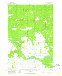
1954 · Lime Hills C-7
USGS Topo · 1:63,360

1954 · Lime Hills C-6
USGS Topo · 1:63,360

1954 · Lime Hills B-7
USGS Topo · 1:63,360

1954 · Lime Hills B-6
USGS Topo · 1:63,360

1958 · Lime Hills
USGS Topo · 1:250,000
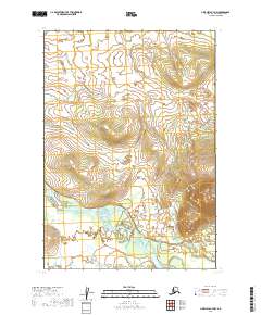
2019 · Lime Hills B-7 NW
USGS Topo · 1:25,000
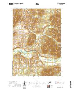
2019 · Lime Hills C-6 NW
USGS Topo · 1:25,000
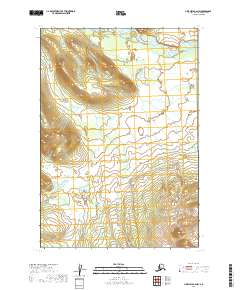
2019 · Lime Hills B-6 NW
USGS Topo · 1:25,000
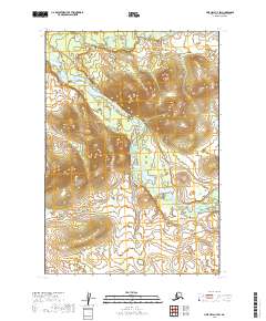
2019 · Lime Hills C-7 SW
USGS Topo · 1:25,000