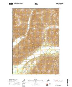
2019 Map of Lime Hills D-4 NE
USGS Topo · Published 2019About this map
Lyman Fork dominates the southern half of this landscape, its braided channels and wide gravel bars weaving through the township lines of t21n r27w. This 2019 survey captures a remote portion of the Bethel Census Area where the terrain is defined by dramatic elevation changes. The land rises steeply from the river valley toward the northern sections of t22n r27w and t22n r26w, where high ridgelines and alpine contours replace the riparian drainage. Without roads or permanent settlements, the map documents the natural hydrology and surveying boundaries that define this interior Alaskan wilderness, providing a precise record of the drainage patterns and topographic relief for this specific quadrangle.
Find a feature on this map
4 named features on this map. Tap any name to fly to it.
Don’t see what you’re looking for? This feature index may not catch every label — zoom into the map to look around manually.
Map Details
Editions of this 2019 Lime Hills D-4 NE Map
This is the sole edition of this map. No revisions or reprints were ever made.
Other maps of this area

1949 · McGrath
USGS Topo · 1:250,000

1950 · McGrath
USGS Topo · 1:250,000

1951 · Lime Hills
USGS Topo · 1:250,000

1958 · McGrath A-3
USGS Topo · 1:63,360

1958 · Lime Hills D-3
USGS Topo · 1:63,360
1958 · Lime Hills D-4
USGS Topo · 1:63,360

1958 · McGrath
USGS Topo · 1:250,000

1958 · Lime Hills
USGS Topo · 1:250,000
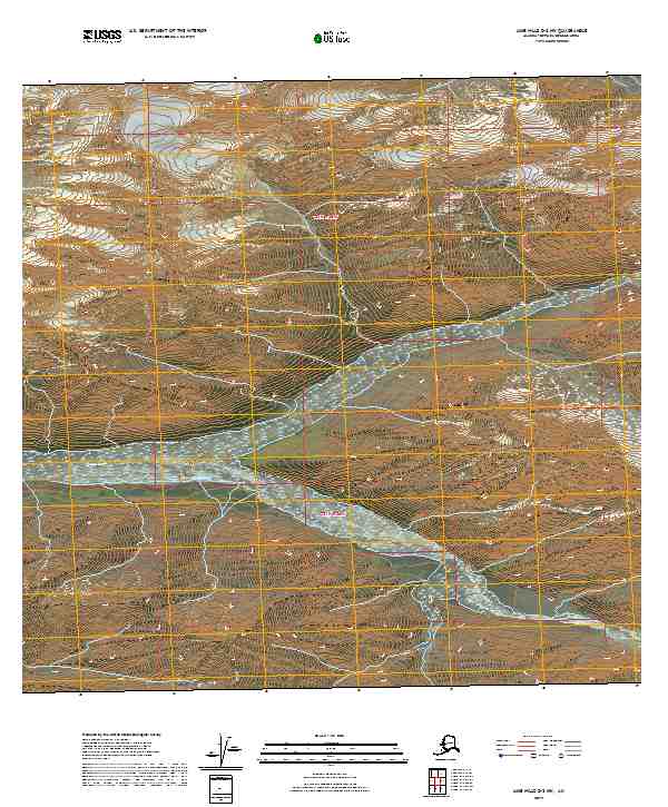
2019 · Lime Hills D-3 NW
USGS Topo · 1:25,000
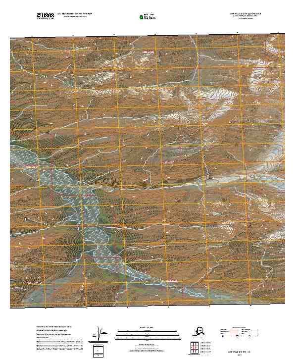
2019 · Lime Hills D-3 SW
USGS Topo · 1:25,000