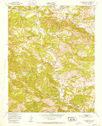
1948 Map of Lime Mountain
USGS Topo · Published 1952About this map
The Santa Lucia Range dominates this late-1940s landscape, where steep canyons and complex drainage systems define the San Luis Obispo backcountry. The Nacimiento River winds across the northern section of the map, fed by a network of seasonal tributaries including Las Tablas Creek and Snake Creek. This period shows the region before major modern developments, with a reliance on unimproved dirt roads and trails through the high country.
Find a feature on this map
11 named features on this map. Tap any name to fly to it.
Don’t see what you’re looking for? This feature index may not catch every label — zoom into the map to look around manually.
Map Details
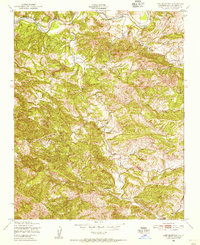
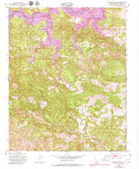
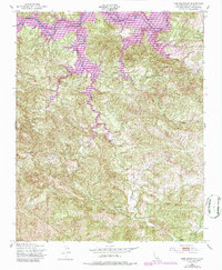
Editions of this 1948 Lime Mountain Map
4 editions found
Other maps of this area

1919 · Bryson
USGS Topo · 1:62,500

1919 · Bradley
USGS Topo · 1:62,500

1919 · Adelaida
USGS Topo · 1:62,500

1919 · San Simeon
USGS Topo · 1:62,500

1932 · Adelaida
USGS Topo · 1:62,500

1937 · San Simeon
USGS Topo · 1:62,500

1941 · Bradley
USGS Topo · 1:62,500

1941 · Bryson
USGS Topo · 1:62,500

1942 · Adelaida
USGS Topo · 1:62,500

1942 · Bryson
USGS Topo · 1:62,500