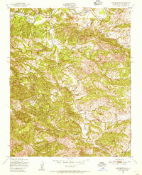
1948 Map of Lime Mountain
USGS Topo · Published 1956About this map
Santa Lucia Range peaks define this mid-century topography, where deep canyons and ridges dictate the flow of the local watershed. The Nacimiento River crosses the northern edge of the sheet, joined by tributary systems including Las Tablas Creek and Dip Creek. This 1948 field check, published by the Geological Survey and Corps of Engineers, captures a landscape of specialized encampments and small settlements before modern development altered the rural character of San Luis Obispo County.
Find a feature on this map
9 named features on this map. Tap any name to fly to it.
Don’t see what you’re looking for? This feature index may not catch every label — zoom into the map to look around manually.
Map Details
Editions of this 1948 Lime Mountain Map
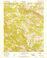
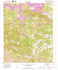
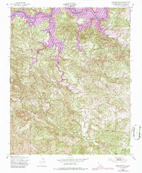
4 editions found
Other maps of this area

1919 · Bryson
USGS Topo · 1:62,500

1919 · Bradley
USGS Topo · 1:62,500

1919 · Adelaida
USGS Topo · 1:62,500

1919 · San Simeon
USGS Topo · 1:62,500

1932 · Adelaida
USGS Topo · 1:62,500

1937 · San Simeon
USGS Topo · 1:62,500

1941 · Bradley
USGS Topo · 1:62,500

1941 · Bryson
USGS Topo · 1:62,500

1942 · Adelaida
USGS Topo · 1:62,500

1942 · Bryson
USGS Topo · 1:62,500