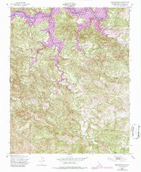
1948 Map of Lime Mountain
USGS Topo · Published 1986About this map
Nacimiento Reservoir dominates the northern reaches of this map, its waters backing up into the deep canyons of the Santa Lucia Range. The landscape is defined by the sharp verticality of the terrain, where Lime Mountain stands as a prominent landmark overlooking a network of seasonal drainage systems including Las Tablas Creek and Dip Creek. The settlement of Klau sits in the southeastern corner, reflecting the historic mercury mining district that once thrived in these hills. In the central valleys, Camp Natoma occupies a sheltered position along the creek beds, illustrating the transition from industrial mining roots toward recreational use of the backcountry. Purple revision overlays from the 1970s provide a comparison of changing water levels and infrastructure against the original 1948 topographic survey, showing the evolution of this San Luis Obispo County watershed.
Find a feature on this map
12 named features on this map. Tap any name to fly to it.
Don’t see what you’re looking for? This feature index may not catch every label — zoom into the map to look around manually.
Map Details
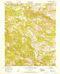
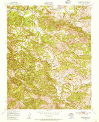
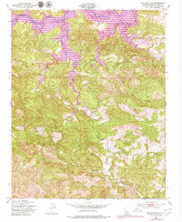
Editions of this 1948 Lime Mountain Map
4 editions found
Other maps of this area

1919 · Bryson
USGS Topo · 1:62,500

1919 · Bradley
USGS Topo · 1:62,500

1919 · Adelaida
USGS Topo · 1:62,500

1919 · San Simeon
USGS Topo · 1:62,500

1932 · Adelaida
USGS Topo · 1:62,500

1937 · San Simeon
USGS Topo · 1:62,500

1941 · Bradley
USGS Topo · 1:62,500

1941 · Bryson
USGS Topo · 1:62,500

1942 · Adelaida
USGS Topo · 1:62,500

1942 · Bryson
USGS Topo · 1:62,500