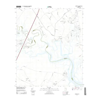
2014 Map of Limerick SE
USGS Topo · Published 2014About this map
The coastal marshlands and winding waterways of Bryan and Liberty Counties define this 2014 survey. The Medway River and its intricate network of tributaries, including the Jerico River and Belfast River, dominate the landscape, carving through the low country south of Richmond Hill. This region is characterized by established settlements like Sunbury, Limerick, and Belfast, each connected by a complex system of roads such as Belfast Keller Rd. For local historians and genealogists, the map provides precise locations for burial grounds including Old Dorchester Cem, New Dorchester Cem, and Wilkins Cem near Isle of Wight. The geographic layout reflects a landscape where the tidal influence of the Sunbury Channel and East Channel dictates the pattern of land use and transit between the mainland and the island-like reaches of the Georgia coast.
Find a feature on this map
101 named features on this map. Tap any name to fly to it.
Don’t see what you’re looking for? This feature index may not catch every label — zoom into the map to look around manually.
Map Details
Editions of this 2014 Limerick SE Map
This is the sole edition of this map. No revisions or reprints were ever made.
Other maps of this area

1920 · Sapelo River
USGS Topo · 1:62,500

1920 · Limerick
USGS Topo · 1:62,500

1928 · St Catherines Island
USGS Topo · 1:62,500

1943 · St Catherines Island
USGS Topo · 1:62,500

1943 · Sapelo River
USGS Topo · 1:62,500

1944 · Limerick
USGS Topo · 1:62,500

1944 · Ossabaw Island
USGS Topo · 1:62,500

1945 · St. Catherine's Island
USGS Topo · 1:62,500

1945 · Ossabaw Island
USGS Topo · 1:62,500

1945 · Sapelo River
USGS Topo · 1:62,500