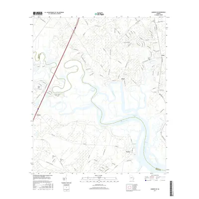
2017 Map of Limerick SE
USGS Topo · Published 2017About this map
Sunbury sits at the edge of the Sunbury Channel, a historic coastal landing point in a landscape defined by tidal waterways and marshlands. This era of the Georgia coast is marked by the winding courses of the Medway River and Jerico River, which isolate settlements like Isle of Wight and Belfast within a network of creeks and sounds. Genealogists will find significant value in the proximity of three distinct burial sites: Old Dorchester Cem, New Dorchester Cem, and Wilkins Cem, providing a spatial record of local families. The geography reveals a transition from the inland heights of Warren Hill down to the low-lying Buttermilk Sound, illustrating the complex drainage patterns of the Laurel View River system before it reaches Dutchman Bay.
Find a feature on this map
107 named features on this map. Tap any name to fly to it.
Don’t see what you’re looking for? This feature index may not catch every label — zoom into the map to look around manually.
Map Details
Editions of this 2017 Limerick SE Map
This is the sole edition of this map. No revisions or reprints were ever made.
Other maps of this area

1920 · Sapelo River
USGS Topo · 1:62,500

1920 · Limerick
USGS Topo · 1:62,500

1928 · St Catherines Island
USGS Topo · 1:62,500

1943 · St Catherines Island
USGS Topo · 1:62,500

1943 · Sapelo River
USGS Topo · 1:62,500

1944 · Limerick
USGS Topo · 1:62,500

1944 · Ossabaw Island
USGS Topo · 1:62,500

1945 · St. Catherine's Island
USGS Topo · 1:62,500

1945 · Ossabaw Island
USGS Topo · 1:62,500

1945 · Sapelo River
USGS Topo · 1:62,500