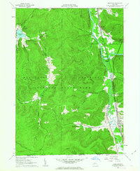
1961 Map of Limestone
USGS Topo · Published 1963About this map
Limestone sits at the base of this 1961 topographical study, where the industrial footprint of the Southern Tier is clearly visible. The landscape is dominated by the sprawling acreage of Allegany State Park and the Allegany Indian Reservation, highlighting a complex relationship between public conservation and indigenous land. A dense network of resource extraction is evident through numerous oil wells and gas wells scattered throughout the hills, particularly near the Pennsylvania border.
Find a feature on this map
50 named features on this map. Tap any name to fly to it.
Don’t see what you’re looking for? This feature index may not catch every label — zoom into the map to look around manually.
Map Details
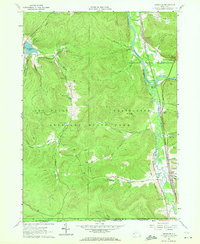
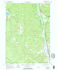
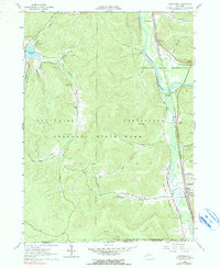
Editions of this 1961 Limestone Map
4 editions found
Other maps of this area

1900 · Salamanca
USGS Topo · 1:62,500

1922 · Randolph
USGS Topo · 1:62,500

1923 · Randolph
USGS Topo · 1:62,500

1924 · Bradford
USGS Topo · 1:62,500

1926 · Bradford
USGS Topo · 1:62,500

1936 · Kinzua
USGS Topo · 1:48,000

1938 · Salamanca
USGS Topo · 1:62,500

1941 · Kinzua
USGS Topo · 1:62,500

1941 · Bradford
USGS Topo · 1:62,500

1943 · Randolph
USGS Topo · 1:62,500
Featured Places
- Carrollton, NY
- Limestone, Carrollton
- Red House, NY
- Bradford Junction, Carrollton
- Riverside Junction, Carrollton