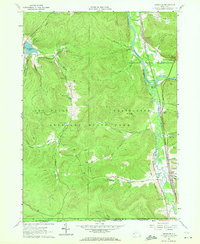
1961 Map of Limestone
USGS Topo · Published 1972About this map
The Allegheny River and Tunungwant Creek valleys dominate this portion of Cattaraugus County, forming a natural corridor for transport and settlement between the high ridges of the Southern Tier. In the early 1960s, the landscape was defined by the intersection of industrial infrastructure and conservation, where the Allegany Indian Reservation meets the expansive Allegany State Park. The river valley serves as a busy transit artery, with the Erie-Lackawanna and Baltimore and Ohio railroads tracing the water's edge through Riverside Junction and South Carrollton. In the village of Limestone, a concentrated cluster of homes, a High Sch, and a Drive-in Theater reveal the community's local footprint. To the west, the topography rises sharply into the park, featuring recreation sites like Red House Lake, the Bova Ski Tow, and several camps such as Camp Arrowhead.
Find a feature on this map
54 named features on this map. Tap any name to fly to it.
Don’t see what you’re looking for? This feature index may not catch every label — zoom into the map to look around manually.
Map Details
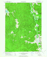
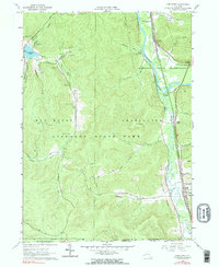
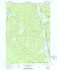
Editions of this 1961 Limestone Map
4 editions found
Other maps of this area

1900 · Salamanca
USGS Topo · 1:62,500

1922 · Randolph
USGS Topo · 1:62,500

1923 · Randolph
USGS Topo · 1:62,500

1924 · Bradford
USGS Topo · 1:62,500

1926 · Bradford
USGS Topo · 1:62,500

1936 · Kinzua
USGS Topo · 1:48,000

1938 · Salamanca
USGS Topo · 1:62,500

1941 · Kinzua
USGS Topo · 1:62,500

1941 · Bradford
USGS Topo · 1:62,500

1943 · Randolph
USGS Topo · 1:62,500
Featured Places
- Carrollton, NY
- Limestone, Carrollton
- Red House, NY
- Bradford Junction, Carrollton
- Riverside Junction, Carrollton